General Information
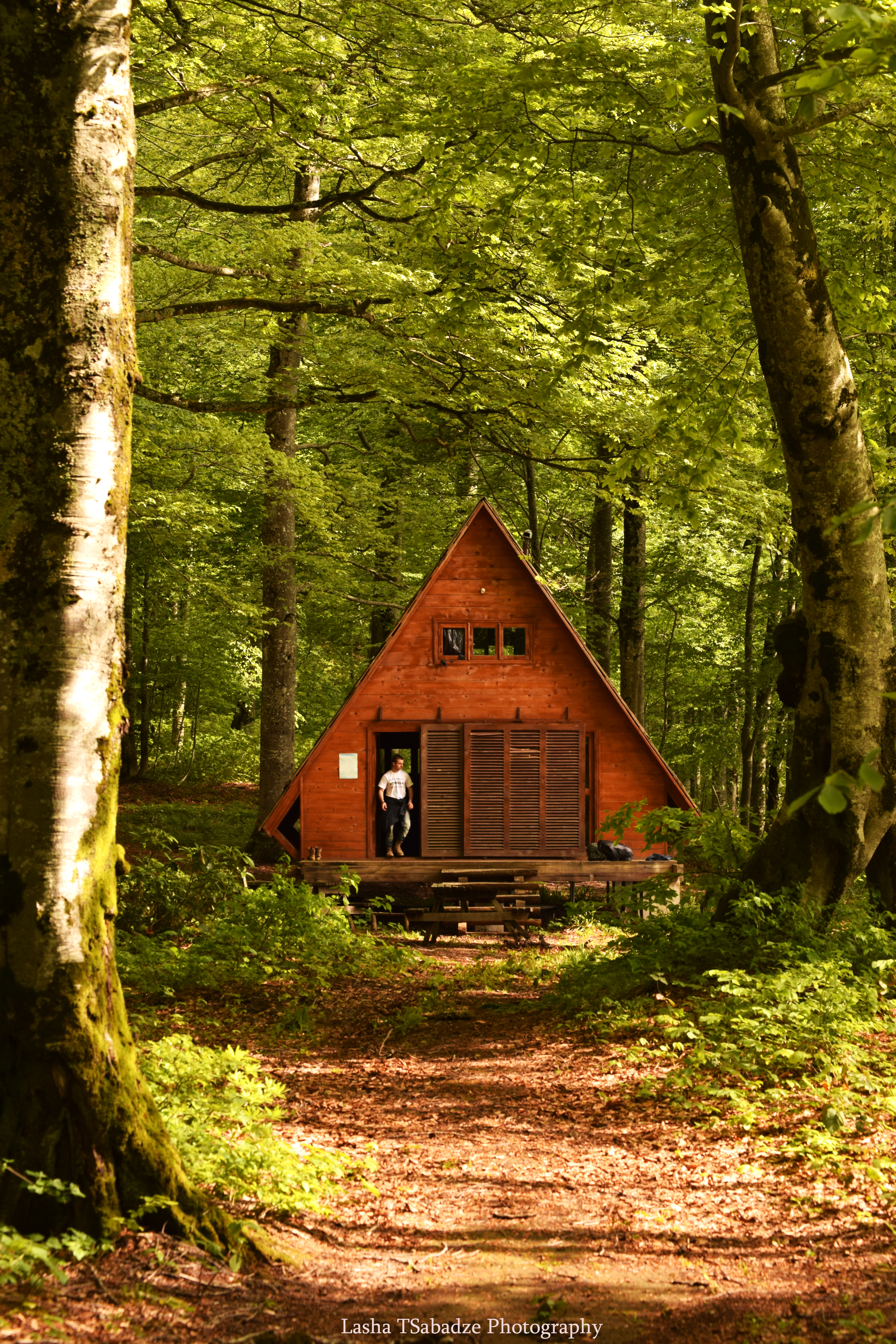
Racha National Park, located in the breathtaking Racha region of Georgia, is a hidden gem known for its stunning landscapes and rich biodiversity. Spanning approximately 100 square kilometers, the park is characterized by its dramatic mountain ranges, lush forests, and crystal-clear rivers. The terrain is a blend of steep valleys and rolling hills, making it a haven for outdoor enthusiasts.
The park’s diverse flora includes over 1,200 plant species, with a mix of deciduous and coniferous forests that create a vibrant tapestry of colors throughout the seasons. Notable species such as beech, fir, and spruce thrive in the cooler climate, while wildflowers blanket the meadows in spring, attracting a variety of pollinators.
Racha National Park is also home to an array of wildlife. Visitors may encounter endemic species such as the Caucasian tur and the Eastern black sea deer, along with numerous birds, including the golden eagle and the Caucasian grouse. The park’s rivers and streams are teeming with fish, making it a popular spot for anglers.
In addition to its natural beauty, Racha National Park offers numerous hiking trails that cater to all levels of adventurers, leading through enchanting forests and to panoramic viewpoints that showcase the region’s dramatic scenery. With its combination of rich biodiversity, stunning landscapes, and recreational opportunities, Racha National Park is a must-visit destination for nature lovers and those seeking to explore the unique ecological heritage of Georgia.
How to get there
By Car:
- Drive approximately 250 km northwest via E60. The journey takes about 4 hours, depending on traffic and road conditions. Follow signs towards Zestaponi, and then take the route to Ambrolauri, which leads directly to Racha National Park.
By Train:
- Take a train from Tbilisi to Zestaponi or Kutaisi, then transfer to a bus or taxi to Ambrolauri.
By Minibus (Marshrutka):
- Buses to Ambrolauri depart from the Didube Bus Station in Tbilisi. The journey takes around 4-5 hours. Once in Ambrolauri, you can take a taxi or local transport to reach the park entrance.
By Car:
- Drive approximately 100 km north via E60 and then take the road towards Ambrolauri. The drive typically takes about 2 hours.
By Minibus:
- Buses to Ambrolauri leave from the Kutaisi Bus Station. The journey takes around 2-3 hours. After reaching Ambrolauri, take a taxi or local transport to the park entrance.
Racha National Park
Udziro Lake Loop
Distance: 19.5 km
Elevation: 1,802 m
Difficulty: Hard 🔴
Distance: 19.5 km
Elevation: 1,802 m
Difficulty: Hard 🔴
Highlights of the Udziro Lake Loop Trail
The Udziro Lake Loop Trail in Racha National Park is a captivating journey that showcases Georgia’s stunning natural beauty. Spanning approximately 20 kilometers, the trail features breathtaking views of lush forests, steep mountain ridges, and vibrant alpine meadows.
The trail leads to the serene Udziro Lake, known for its crystal-clear waters surrounded by picturesque peaks. Wildlife enthusiasts may spot endemic species such as the Caucasian tur and various birds, including eagles soaring overhead.
As you hike, the trail offers a mix of challenging ascents and gentle slopes, making it suitable for various skill levels.
With its diverse landscapes and rich flora, the Udziro Lake Loop Trail is perfect for nature lovers and photographers seeking to capture the untouched beauty of the Racha region.
Ascent/Descent:  1984 m 1984 m  1984 m 1984 m | Distance: 19.46 km |
Chiora Via Notsara Valley
Distance: 17.9 km
Elevation: 1,038 m
Difficulty: Hard 🔴
Distance: 17.9 km
Elevation: 1,038 m
Difficulty: Hard 🔴
Highlights of the Chiora via Notsara Valley Loop Trail
The Chiora via Notsara Valley Loop Trail in Racha National Park offers a stunning adventure through diverse landscapes. This 18-kilometer trail meanders through lush forests and vibrant meadows, leading to breathtaking panoramic views of the surrounding mountains. Along the way, hikers can enjoy the tranquility of crystal-clear streams and the rich flora and fauna of the region. The trail is accessible for various skill levels, making it perfect for both casual walkers and avid hikers seeking an immersive nature experience.
Ascent/Descent:  1204 m 1204 m  1204 m 1204 m | Distance: 17.92 km |
Buba Glacier
Distance: 14.0 km
Elevation: 1,025 m
Difficulty: Hard 🔴
Distance: 14.0 km
Elevation: 1,025 m
Difficulty: Hard 🔴
Highlights of the Buba Glacier Trail
The Buba Glacier Trail in Racha National Park offers an exhilarating experience through dramatic alpine landscapes. This challenging trail leads adventurers to the stunning Buba Glacier, showcasing spectacular views of jagged peaks and pristine ice formations. Hikers will encounter diverse flora and fauna along the way, including colorful wildflowers and endemic wildlife. The trail's remote beauty and serene atmosphere make it a must-visit for nature enthusiasts and those seeking a unique hiking experience in Georgia's mountainous terrain.
Ascent/Descent:  1229 m 1229 m  1242 m 1242 m | Distance: 13.99 km |
Practical information

What to Pack
Hiking Gear
Sturdy hiking boots and weather-appropriate clothing (layers are key).
First Aid Kit
Always carry a basic first aid kit, especially if you're going on longer hikes.
Food & Water
Bring sufficient food & water for the duration of your hike.
Navigation
Maps and GPS are essential, as cell reception is limited. Maps are available at the visitor centers.
