General Information
Kintrishi National Park, located in the Ajara region of western Georgia, is a haven of untouched natural beauty, stretching across 13,893 hectares. The park is situated in the Kintrishi River Valley, within the stunning Colchic subtropical zone, and features a landscape of rugged mountains, deep gorges, and dense, ancient forests. The park’s elevation ranges from 300 to 2,500 meters above sea level, offering a diverse range of ecosystems.
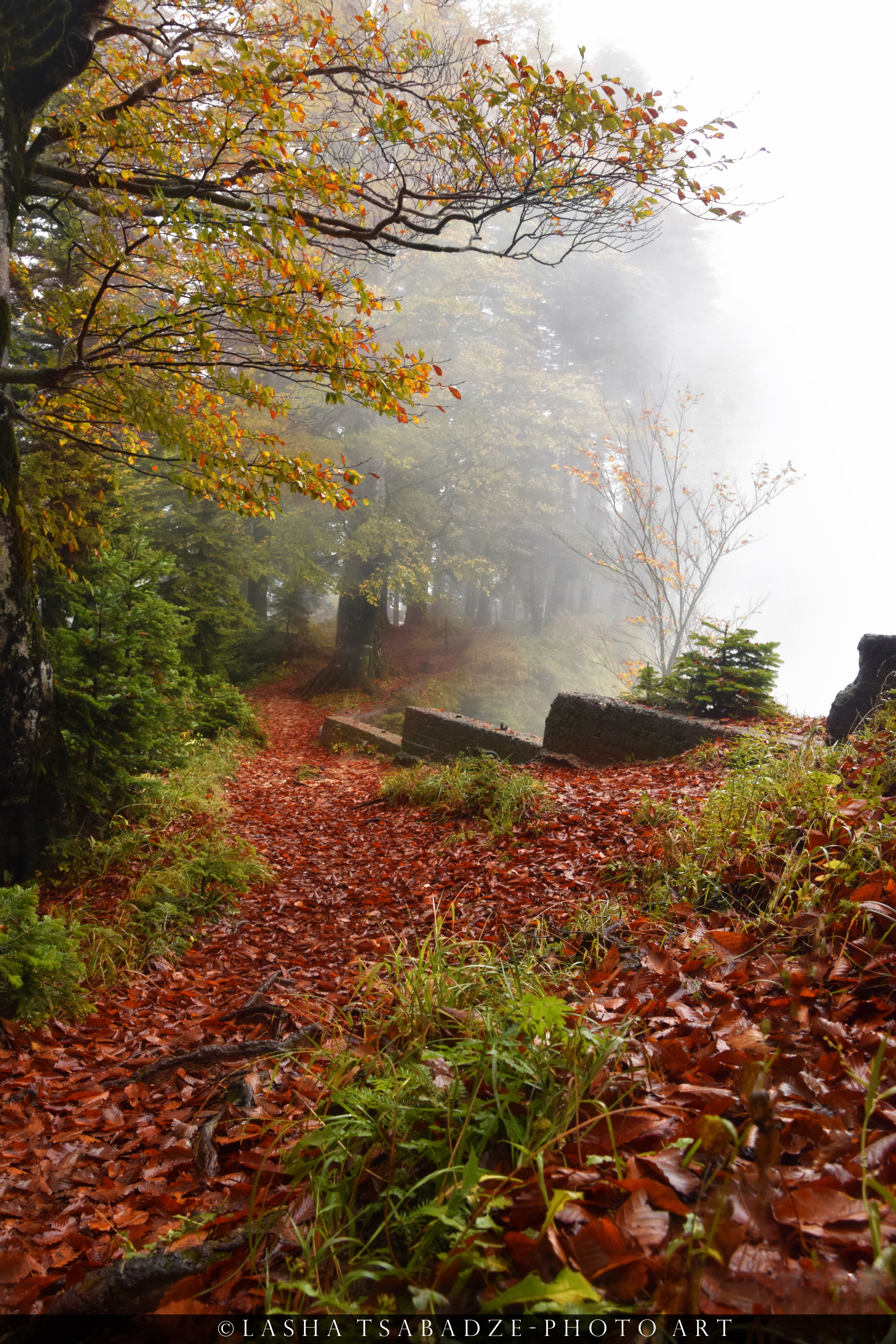
Kintrishi National Park is renowned for its rich flora, including a mix of temperate rainforest species. The park is home to relict forests, with species such as beech, chestnut, and yew, some of which are thousands of years old. In spring and summer, the meadows bloom with a variety of wildflowers, adding vibrant colors to the lush greenery.
The park’s fauna is equally diverse, with many rare and endemic species. Large mammals like brown bears, lynxes, and wild boars inhabit the forests, while smaller creatures such as otters and badgers thrive near the rivers. Birdwatchers will be delighted with sightings of eagles, falcons, and the Caucasian black grouse. The rivers and streams are also home to a variety of fish species, making it a popular spot for fishing.
Kintrishi National Park offers numerous hiking trails that take visitors through its pristine wilderness. Along the trails, hikers can discover hidden waterfalls, ancient stone bridges, and scenic viewpoints that showcase the park’s natural beauty. The combination of its unique flora and fauna, dramatic landscapes, and rich biodiversity makes Kintrishi National Park a must-visit destination for nature lovers and adventure seekers in Georgia..
How to get there
By Car:
- Kintrishi National Park is about 400 km west of Tbilisi, a drive that takes approximately 6-7 hours. Take the Tbilisi-Senaki-Leselidze Highway (E60) toward Batumi. From Batumi, follow signs toward Kobuleti, then head towards the village of Khino, which leads to the park entrance.
By Train:
- Take a train from Tbilisi to Batumi (about 5 hours). Then hire a local taxi to reach the park entrance near Khino village.
By Minibus (Marshrutka):
- Head to the Didube Bus Station in Tbilisi and take a marshrutka to Batumi (5-6hours). Then hire a local taxi to reach the park entrance near Khino village.
By Car:
- Borjomi-Kharagauli National Park is about 140 km (a 2-3 hour drive) from Kutaisi. Take the Kutaisi-Baghdati-Borjomi road (via the Tskaltubo region) and follow directions to Borjomi and the Likani entrance.
By Minibus:
- From Kutaisi Bus Station, take a marshrutka to Borjomi. The journey takes around 2.5-3 hours. After arriving in Borjomi, a short taxi ride will take you to the park entrance in Likani.
Kintrishi National Park
Mountain Narusala
Distance: 66.6 km
Elevation: 3,842 m
Difficulty: Hard 🔴
Distance: 66.6 km
Elevation: 3,842 m
Difficulty: Hard 🔴
Highlights of Mountain Narusala
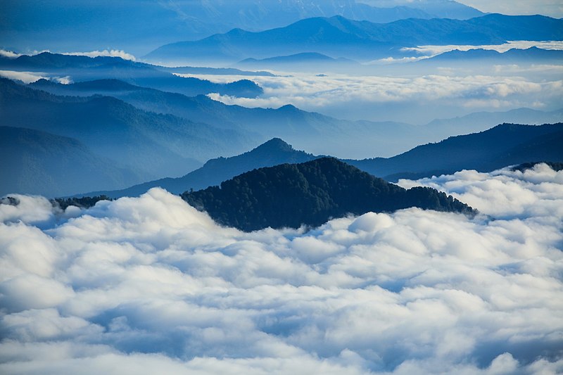
Mountain Narusala, one of the highest points in Kintrishi National Park, offers breathtaking panoramic views of the lush Colchic subtropical forests and the surrounding Kintrishi River Valley. At an elevation of over 2,000 meters, the trail to Narusala leads hikers through dense forests, pristine meadows, and crystal-clear streams. Along the way, you’ll encounter diverse flora, including rare ancient trees like yew and beech. The summit rewards adventurers with stunning vistas of the Adjara region’s rolling hills, distant mountain ranges, and even glimpses of the Black Sea on clear days. Narusala is perfect for experienced hikers seeking both a challenging trek and awe-inspiring natural beauty.
Ascent/Descent:  5936 m 5936 m  5936 m 5936 m | Distance: 66.55 km |

Practical information

What to Pack
Hiking Gear
Sturdy hiking boots and weather-appropriate clothing (layers are key).
First Aid Kit
Always carry a basic first aid kit, especially if you're going on longer hikes.
Food & Water
Bring sufficient food & water for the duration of your hike.
Navigation
Maps and GPS are essential, as cell reception is limited. Maps are available at the visitor centers.
