General Information
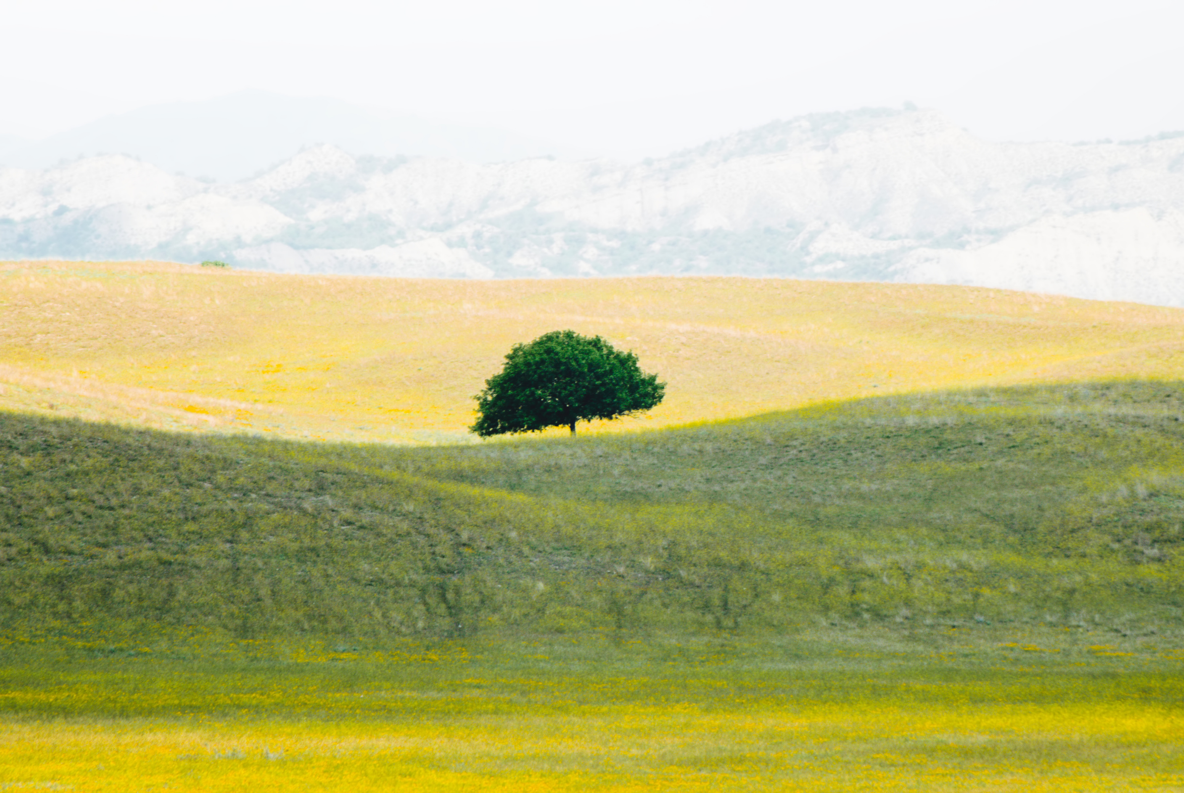
Located in the far southeastern corner of Georgia, Vashlovani National Park offers a stunning contrast to the lush, mountainous landscapes that Georgia is often known for. This arid, semi-desert region, with its deep canyons, wind-sculpted cliffs, and rolling plains, gives visitors a unique chance to experience the “wild east” of Georgia. Established in 1935, Vashlovani National Park covers over 84,000 hectares and is known for its diverse ecosystems. It ranges from semi-desert landscapes and dry forests to wetlands along the Alazani River. Often referred to as “Georgia’s Savannah” due to its flat plains and wild, untamed terrain, the park is home to an array of wildlife, including rare bird species, gazelles, lynxes, and even leopards. This park is perfect for adventurous travelers seeking solitude and raw nature.
How to get there
By Car:
- The best option is to drive, as public transportation to the park is limited. Vashlovani National Park is about 150 km southeast of Tbilisi (a 2.5-3 hour drive). Take the road towards Dedoplistskaro via the S5 highway and follow signs to the Vashlovani National Park Visitor Center in Dedoplistskaro. From there, a 4×4 vehicle is recommended to reach deeper parts of the park.
By Minibus (Marshrutka):
- From Tbilisi’s Samgori Bus Station, take a marshrutka to Dedoplistskaro (3-4 hours). Once in Dedoplistskaro, you’ll need to arrange a local taxi or 4×4 to reach the park, as the roads inside the park can be challenging.
By Car:
- Vashlovani National Park is about 320 km (5-6 hours) from Kutaisi. Take the E60 highway towards Tbilisi, then head southeast toward Dedoplistskaro following the same route mentioned above. A 4×4 vehicle is strongly recommended for navigating the park.
By Minibus:
- Travel first to Tbilisi via bus or train (about 4 hours), then get to Tbilisi’s Samgori Bus Station, take a marshrutka to Dedoplistskaro (3-4 hours). Once in Dedoplistskaro, you’ll need to arrange a local taxi or 4×4 to reach the park, as the roads inside the park can be challenging.
Hiking Trails in Borjomi-Kharagauli National Park
Pantishara Canyon Trail
Distance: 50.7 km
Elevation: 1,201 m
Difficulty: Hard 🔴
Distance: 50.7 km
Elevation: 1,201 m
Difficulty: Hard 🔴
This trail takes you through the breathtaking Pantishara Canyon, one of the park’s most iconic landscapes. The canyon’s jagged cliffs, sculpted by wind and erosion, offer spectacular views. Along the way, you’ll encounter unique rock formations, various bird species, and possibly gazelles. This route is considered challenging, and takes an average of 13 h 7 min to complete and is recommended to complete in multiple days while camping on the way.
Ascent/Descent:  1842 m 1842 m  1842 m 1842 m | Distance: 50.57 km |
Usakhelo Viewpoint
Distance: 12.7 km
Elevation: 325 m
Difficulty: Moderate
Distance: 12.7 km
Elevation: 325 m
Difficulty: Moderate
Typically rated as moderately challenging, this trail takes around 3 hours and 23 minutes to complete. This short but rewarding trail takes you through arid, semi-desert terrain, leading to a viewpoint that overlooks the unique badlands and rugged cliffs of the region. It’s also an excellent spot for birdwatching, particularly for spotting raptors.
Ascent/Descent:  656 m 656 m  656 m 656 m | Distance: 12.67 km |
Shavi Mta Monastery
Distance: 12.7 km
Elevation: 325 m
Difficulty: Easy
Distance: 12.7 km
Elevation: 325 m
Difficulty: Easy
The Shavi Mta Monastery trail takes an average of 32 min to complete. It is a captivating route that takes you through Vashlovani National Park’s rugged terrain to an ancient, remote monastery perched on a mountain. This hike offers a blend of natural beauty and historical significance, making it a unique experience.
Ascent/Descent:  89 m 89 m  89 m 89 m | Distance: 1.68 km |
Practical information

What to Pack
Hiking Gear
Lightweight, breathable clothing is recommended for summer, but bring layers for colder evenings. A hat, sunglasses, and sunscreen are essential due to the strong sun.
First Aid Kit
Always carry a basic first aid kit, especially if you're going on longer hikes.
Food & Water
Bring enough food and water for the duration of your hike, as there are few facilities within the park. In summer, water is especially crucial due to the heat.
Navigation
The park is remote, and cell reception is unreliable. Carry a detailed map, GPS device, or download offline maps beforehand.
