General Information
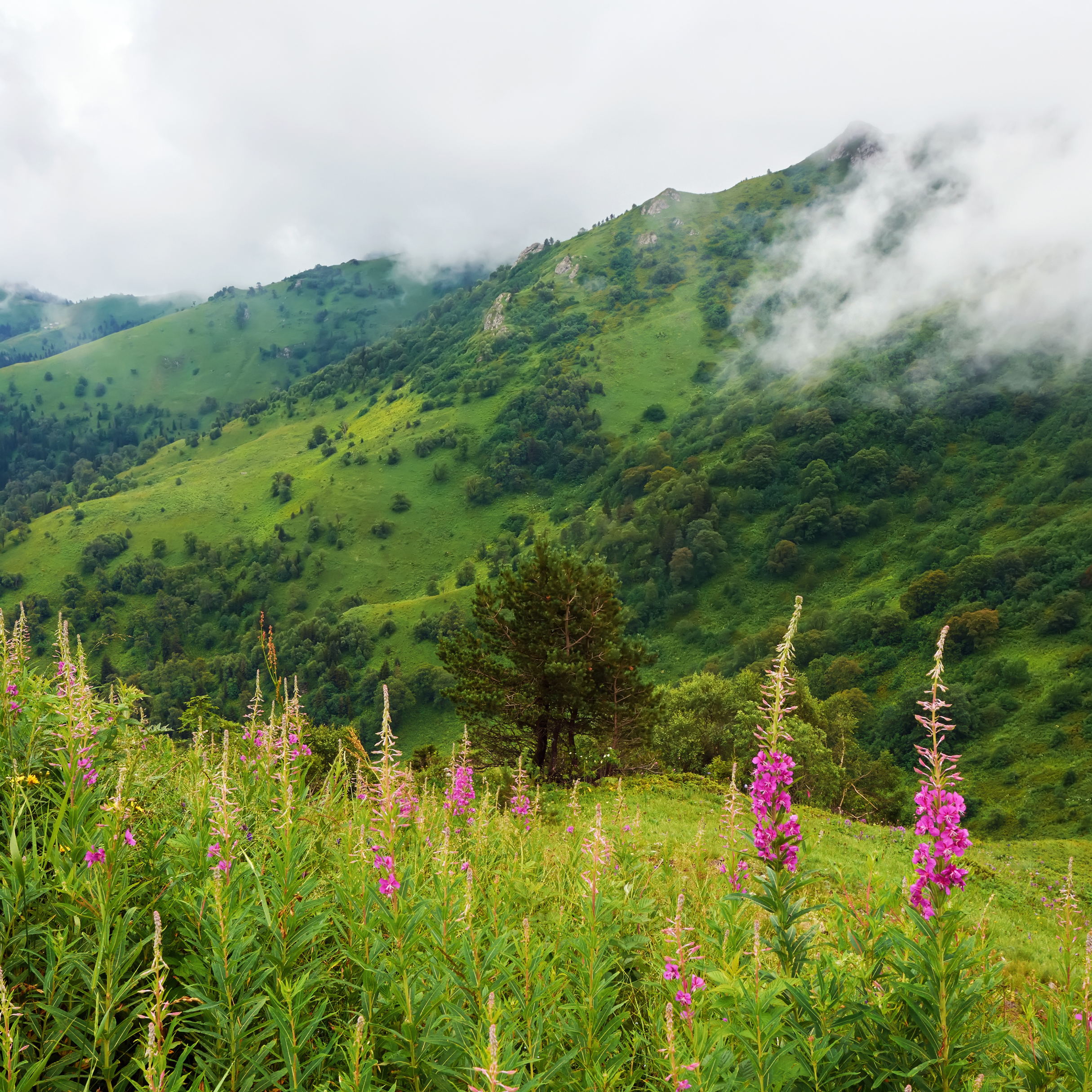
Borjomi-Kharagauli National Park, one of Georgia’s largest and most stunning protected areas. This national park spans over 85,000 hectares, providing an incredible diversity of landscapes—from dense forests to alpine meadows—and a wide array of flora and fauna. Whether you’re an avid hiker, a nature lover, or someone seeking tranquility, Borjomi-Kharagauli National Park offers an unforgettable adventure.
Established in 1995 and officially opened in 2001, Borjomi-Kharagauli National Park is part of a larger conservation area that includes the historic Borjomi Gorge. The park is renowned for its beautiful and diverse terrain, offering everything from rugged mountains and deep forests to peaceful rivers and grassy plains. It’s also home to over 60 species of mammals, including brown bears, wolves, lynxes, and red deer, as well as a variety of bird species, making it a haven for wildlife enthusiasts.
How to get there
By Car:
- The most convenient option is driving. The park is about 150 km (a 2-3 hour drive) from Tbilisi. Take the Tbilisi-Gori-Borjomi road via the E60 highway. Once you reach Borjomi, follow the signs to the park’s visitor center in Likani for trail information and permits.
By Train:
- Take a train from Tbilisi Central Station to Borjomi. Trains leave daily and take about 4 hours. From Borjomi station, take a taxi or a bus to the park entrance at Likani (5 km away).
By Minibus (Marshrutka):
- Head to the Didube Bus Station in Tbilisi and take a marshrutka to Borjomi (2.5-3 hours). Once in Borjomi, you can hire a local taxi to the park entrance.
By Car:
- Borjomi-Kharagauli National Park is about 140 km (a 2-3 hour drive) from Kutaisi. Take the Kutaisi-Baghdati-Borjomi road (via the Tskaltubo region) and follow directions to Borjomi and the Likani entrance.
By Minibus:
- From Kutaisi Bus Station, take a marshrutka to Borjomi. The journey takes around 2.5-3 hours. After arriving in Borjomi, a short taxi ride will take you to the park entrance in Likani.
Hiking Trails in Borjomi-Kharagauli National Park
Saint Andrew’s Trail
Distance: 51.2 km
Elevation: 2,514 m
Difficulty: Hard 🔴
Distance: 51.2 km
Elevation: 2,514 m
Difficulty: Hard 🔴
Highlights: Tackle this 51.2-km point-to-point trail near Likani, Samtskhe-Javakheti with caution. Widely regarded as a very challenging route, it takes an average of 18 hours and 29 minutes to complete and is recommended only for experienced adventurers. Perfect for backpacking, camping, and hiking, this trail offers solitude.
Ascent/Descent:  3356 m 3356 m  3745 m 3745 m | Distance: 51.19 km |
Nikoloz Romanov Trail
Distance: 38.5 km
Elevation: 1,886 m
Difficulty: Hard 🔴
Distance: 38.5 km
Elevation: 1,886 m
Difficulty: Hard 🔴
Highlights: Explore this 38.5-km point-to-point trail near Likani in Samtskhe-Javakheti, a route known for its difficulty. It typically takes around 14 hours and 10 minutes to complete. Ideal for backpacking, camping, and hiking, this trail offers solitude, with few other visitors likely to cross your path.
Ascent/Descent:  2609 m 2609 m  3062 m 3062 m | Distance: 38.48 km |
Panorama Trail
Distance: 31 km
Elevation: 1,834 m
Difficulty: Hard 🔴
Distance: 31 km
Elevation: 1,834 m
Difficulty: Hard 🔴
Approach this 30.7-km loop trail in Borjomi and Kharagauli National Park. Known for being extremely challenging, it is best suited for seasoned adventurers. Ideal for backpacking and camping, this trail offers a remote experience with few other hikers likely to be encountered along the way.
Ascent/Descent:  2347 m 2347 m  2347 m 2347 m | Distance: 30.71 km |
Footprint Trail
Distance: 15.3 km
Elevation: 979 m
Difficulty: Hard 🔴
Distance: 15.3 km
Elevation: 979 m
Difficulty: Hard 🔴
Discover this 15.3-km point-to-point trail near Likani, known for its difficulty. It typically takes around 5 hours and 59 minutes to complete.
Ascent/Descent:  1207 m 1207 m  1140 m 1140 m | Distance: 15.20 km |
Nunisi Basilica and Caves Hike
Distance: 6.1 km
Elevation: 328 m
Difficulty: Moderate 🟡
Distance: 6.1 km
Elevation: 328 m
Difficulty: Moderate 🟡
Explore this 6.1-km out-and-back trail near Nunisi, Imereti, which is typically rated as moderately challenging. On average, it takes about 2 hours and 12 minutes to complete. Ideal for hiking, this trail offers a peaceful experience with few other hikers likely to be encountered.
Ascent/Descent:  494 m 494 m  494 m 494 m | Distance: 6.12 km |
Practical information

What to Pack
Hiking Gear
Sturdy hiking boots and weather-appropriate clothing (layers are key).
First Aid Kit
Always carry a basic first aid kit, especially if you're going on longer hikes.
Food & Water
Bring sufficient food & water for the duration of your hike.
Navigation
Maps and GPS are essential, as cell reception is limited. Maps are available at the visitor centers.
